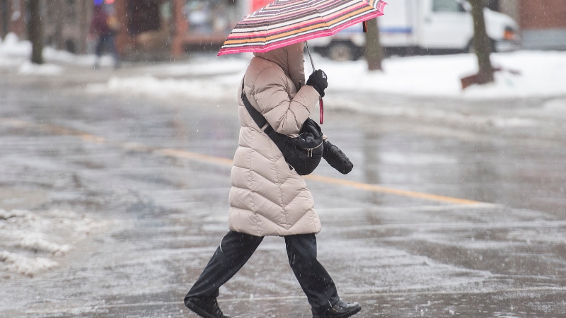
Environment Canada issued a multitude of special weather statements for most of Quebec, as well as the four Atlantic provinces, due to the remnants of Tropical Storm Nicole.
In Quebec, only the Outaouais, Pontiac, Témiscamingue, James Bay, Upper Laurentians and Lower North Shore regions are expected to be spared.
All other areas, from Montreal to the Lower St. Lawrence, are set to receive rainy and windy weather continuing on Saturday. Rainfall amounts will be significant for southern, central and eastern Quebec, according to the federal agency, which adds that very strong winds will affect mainly central and eastern areas.
- RAINFALL WARNING: Environment Canada has issued a rainfall warning for the Greater Montreal Area. 40 to 60 mm of rain is expected beginning Friday night.
Similar conditions will be seen in the Laurentians, Mauricie, Eastern Townships and Beauce, in the Quebec City area and in Charlevoix.
SNOW COMING TO PARTS OF QUEBEC
On the North Shore, the major low-pressure system will bring a mix of precipitation for the end of the week. The amounts of snow and ice could be significant in some areas, but Environment Canada cannot yet specify how much is expected. Further northeast, in Sept-Îles and Havre-Saint-Pierre, the storm is expected to bring significant amounts of snow, strong winds and blowing snow, and possibly freezing rain.
In Gaspé and Sainte-Anne-des-Monts, rain, freezing rain, ice pellets and very strong winds are expected on Saturday and the combination of these winds and medium tides could cause waves to break along the coast on Saturday afternoon.
In Abitibi, a freezing rain warning is in effect for most areas, including La Sarre, Lebel-sur-Quévillon, but a little further north, in Matagami, snowfall will leave an accumulation of 15 to 20 centimetres from Thursday afternoon until Friday.
IMPACT ON ATLANTIC CANADA
Meantime, Environment Canada expects what's left of the storm to invade the Maritimes on Saturday. Heavy rain will begin early in the morning, with up to 50 millimetres of rain falling into the evening, and strong northwesterly winds gusting to 80 km/h will accompany the rain. The federal agency is also predicting high water levels in Baie des Chaleurs on Saturday.
Newfoundland and Labrador could get freezing rain or snow Saturday night into Sunday morning.
Environment Canada has warned to watch for potential outages in the areas hardest hit in late September by post-tropical storm Fiona.
Environment Canada meteorologist Bob Robichaud says Nicole is much milder than Fiona, but is still expected to bring heavy rain to New Brunswick and significant wind gusts to Nova Scotia and Prince Edward Island.
Robichaud says there does not appear to be a risk of flooding. However, he said winds could peak at 70 km/h in some parts of the region.
PEI ON ALERT
The Prince Edward Island government issued a statement Thursday encouraging residents to prepare for the gusts by clearing debris left in Fiona's wake.
Fiona caused widespread power outages across Atlantic Canada that lasted up to 19 days in parts of Prince Edward Island.
The province says that due to weakened trees near power lines, residents should prepare for power outages when Storm Nicole hits the region on Saturday.
This report by The Canadian Press was first published in French on Nov. 10, 2022.


