MONTREAL -- After a very mild fall, wintry weather is finally moving into Southwestern Quebec.
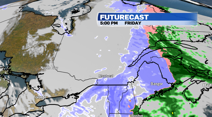
Friday will see rain change to snow with most areas in and around Montreal only expecting to see light accumulations, in the neighborhood of about five centimeters, with temperatures hovering just above the freezing mark.
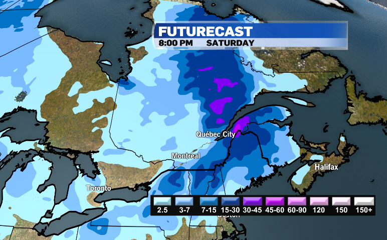
Areas east of the city will see much more significant snowfall.
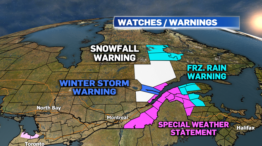
Environment and Climate Change Canada has issued special weather statements for places like the Eastern Townships and the Beauce where upwards of 15 cm is possible Friday through Saturday.
Snowfall warnings are in effect for parts of the province with 15 to 25 cm of accumulation on the way and the Saguenay is expected to be hardest hit with 15-25 cm of snow and gusty winds. And parts of the Gaspe Peninsula are under a freezing rain warning as two millimeters of freezing precipitation is expected this evening before changing to snow tonight.
The messy weather is all associated with a low pressure system that moved up from United States. The low brought freezing rain to areas north of Montreal on Thursday night. Mirabel saw freezing precipitation from 6pm Thursday evening until 8am Friday morning.
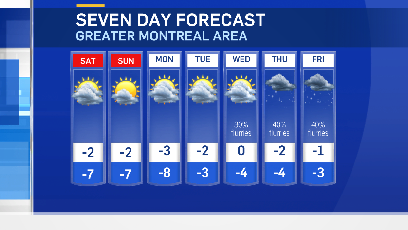
Light snow is expected to wind down in Montreal Friday evening and then colder air will move in.
Montreal will see winds pick up Friday night into Saturday morning with gusts of up to 50 km/h. The low in Montreal will dip to a near seasonal -4 degrees Celsius, however the wind will make it feel more like -12. Gusty winds are expected to continue through the day on Saturday.
Colder air will stick around right through next week with temperatures staying below average and below the freezing mark.